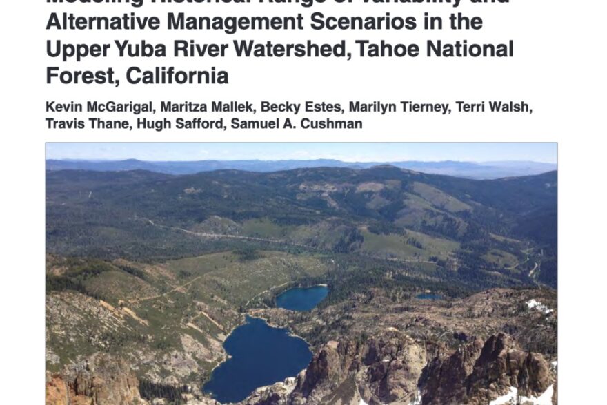
May 2020 Science Corner | “Modeling historical range of variability and alternative management scenarios in the upper Yuba River watershed, Tahoe National Forest, California”
What did forests in the Sierra Nevada look like before the Gold Rush? To find out, the Blue Forest Science Team recently sat down with Dr. Becky Estes, USDA Forest Service Central Sierra Province Ecologist.
Authors: Kevin McGarigal, Maritza Mallek, Becky Estes, Marilyn Tierney, Terri Walsh, Travis Thane, Hugh Safford, Samuel A. Cushman
Interview and story by: Phil Saksa
What did forests in the Sierra Nevada look like before the Gold Rush? To find out, the Blue Forest Science Team recently sat down with Dr. Becky Estes, USDA Forest Service Central Sierra Province Ecologist. Dr. Estes assists forests with a number of complex management needs in the region, including the importance of managing post-fire landscapes to ensure future resilience in the face of a changing climate.
A recent study (briefing) evaluated the Historical Range of Variability (HRV), a term used to describe the condition of forests before European settlement, in the Upper North Yuba River watershed – which includes Blue Forest’s pilot Forest Resilience Bond project area.
“It’s a way for us to understand how vegetation would have been impacted by wildfire, our primary disturbance regime in the Sierra Nevada, without human impediments,” says Becky Estes, Forest Service Ecologist and coauthor on the study.
The researchers modeled how the landscape would have changed over hundreds of years, comparing what the forest might have looked like under HRV to the forests we see today. Estes points out that modeling HRV can be challenging, but “we have amazing records of fire occurrence in the mixed conifer forests, using tools like tree ring analysis to look at how often fires burned.”
The study showed that today there is an increase in density of trees across this landscape, and a higher number of small diameter trees in particular, with a more uniform vegetation structure compared to historical conditions. The study also evaluated a number of management options that could transition the forest closer to HRV, and therefore create greater resilience to wildfire and climate. Restoration treatments may need to increase substantially from the current pace to achieve those goals, but Estes comments that “if we have the infrastructure available such as financing and contractors, increasing pace and scale is possible.”
Research scientists are now updating the model to incorporate high-resolution spatial data (LiDAR). Estes describes one advantage of the updated model is that “we can see the fine spatial patterns across the landscape, such as where the large tree structures exist that can provide wildlife habitat to species like the California Spotted Owl.” Regarding the use of HRV in planning efforts, Estes says “the big picture idea has been that we create a template that can then be used by the larger Tahoe-Central Sierra Initiative and eventually the whole Sierra Nevada.”